|
|
| |
|
The iSIMM released results area will be used for public communication of summarised results from the project once they have been cleared for release by the project partners. At the moment the project is still in the data processing and analysis stage and there are no public results to communicate beyond the articles and documents contained in other areas of the site.
|
|
| |
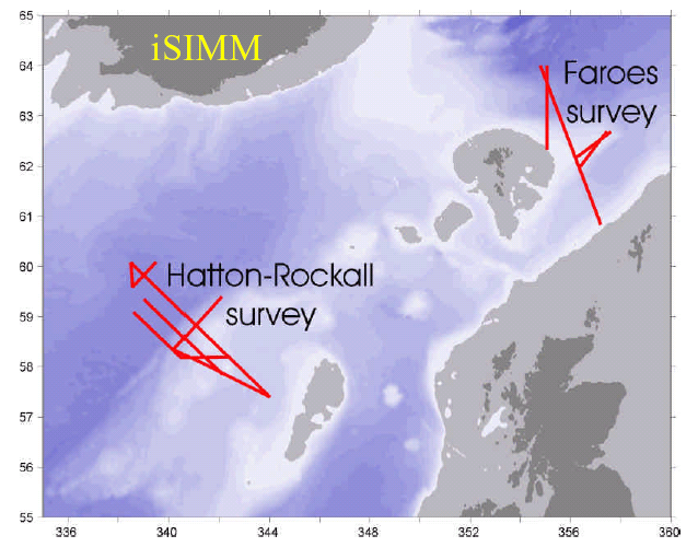
Location map for the newly-acquired iSIMM seismic data
The iSIMM project has acquired multichannel and OBS seismic data at grids crossing the Faeroes and Hatton-Rockall continental margins.
|
|
|
|
| |
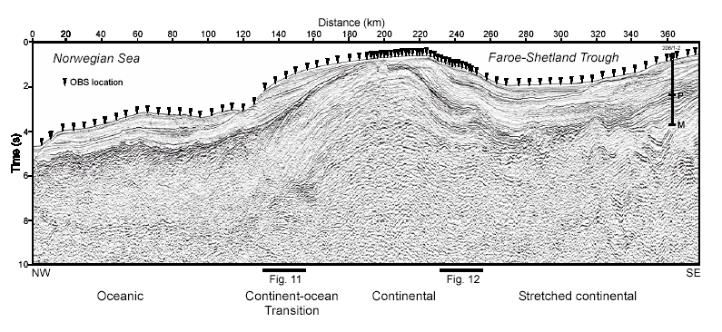
The main Q-Marine iSIMM Faeroes line, showing the location of OBS sites on the seabed
|
|
|
|
| |
|
| |
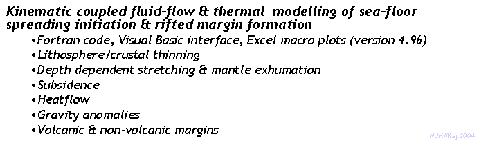
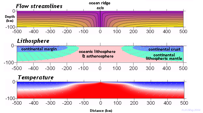
New margin-modelling software for iSIMM, written by Nick Kusznir
|
|
|
|
| |
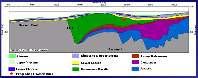
Backstripping of the iSIMM Faeroes profile
Depth-converted section at the present-day, ready for backstripping
|
|
|
| |
|
|
|