Precision Software & Services for the Energy Industry
OCTek Project
The OCTek Project offers a collection of proprietary studies and reports designed to support new ventures exploring deep-water continental margins and their associated basins. Available for purchase, these in-depth resources provide valuable geological insights to enhance exploration strategies.
OCTek Gravity Inversion: Mapping Crustal Structure for Exploration
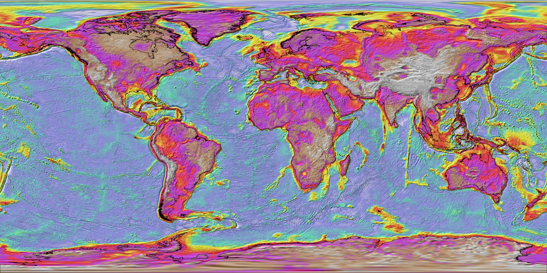
The OCTek Gravity Inversion project utilizes an innovative gravity inversion technique to map the crustal structure of deep-water rifted margins worldwide. Combined with new plate reconstructions, these insights support new ventures in exploration and petroleum systems modelling for frontier deep-water basins and margins.
What's in the Reports
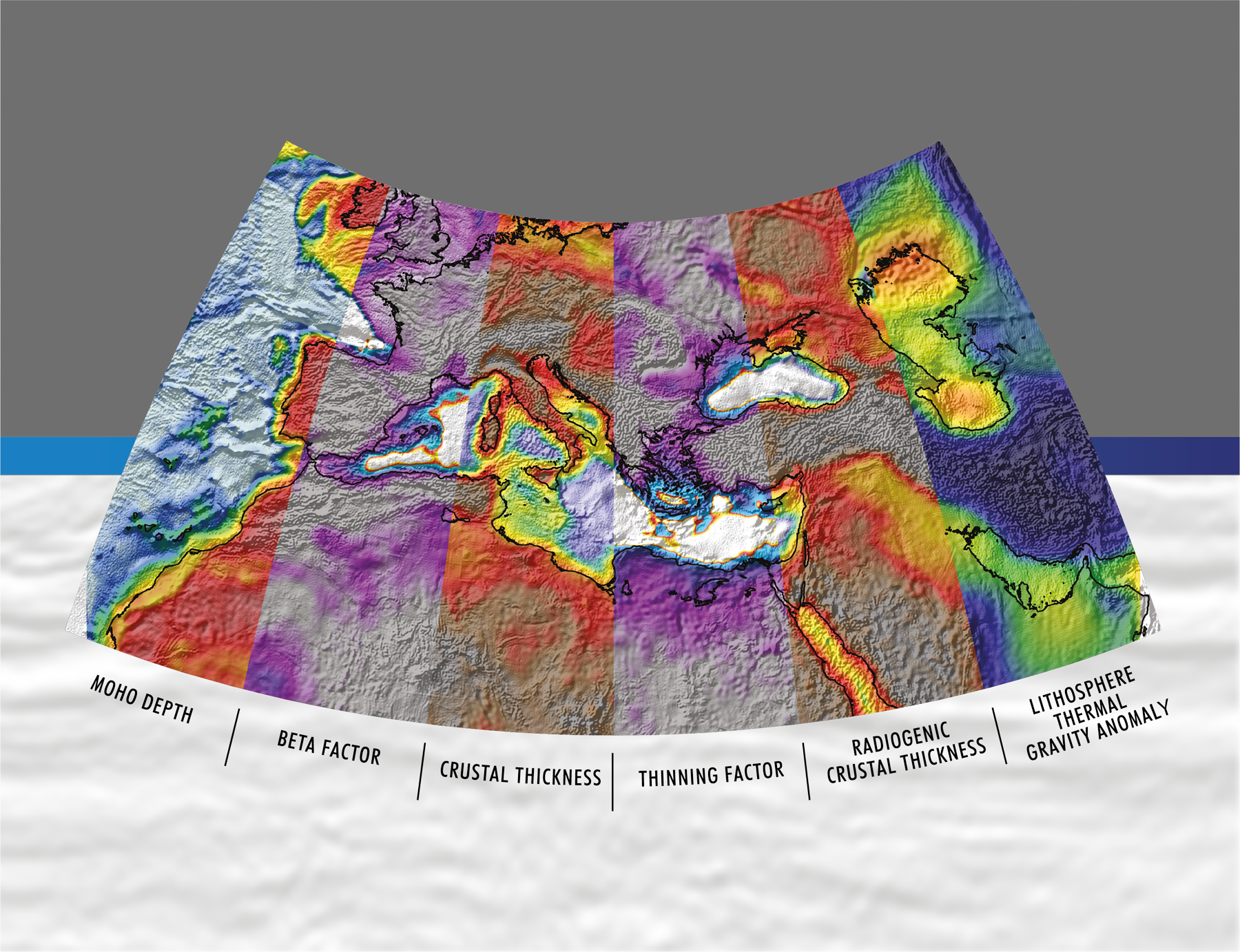
OCTek Gravity Inversion uses free-air gravity, bathymetry and sediment thickness data to produce maps and grids of:
- Depth to Moho
- Total crustal thickness
- Residual continental-crustal thickness
- Crust and lithosphere thinning/beta factor
- The lithosphere thermal-gravity-anomaly resulting from rifting and breakup
The reports contain an atlas of results as well as plate reconstruction models refined using the outputs of the OCTek methodology.
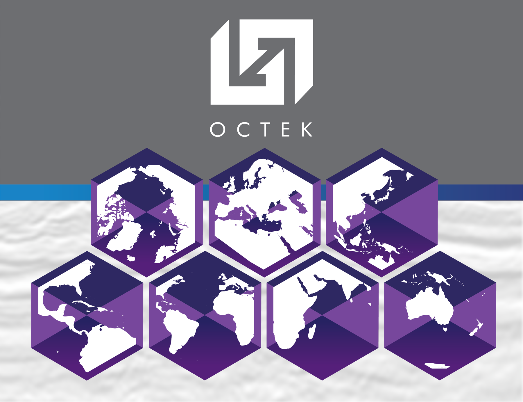
Regions Covered
OCTek reports are available for seven geographical region as well as a best-case global study:
- Global OCTek
- Arctic / North Atlantic
- Asia-Pacific
- Atlantic
- Indian Ocean
- Australasia
- GoM & Caribbean
- Mediterranean
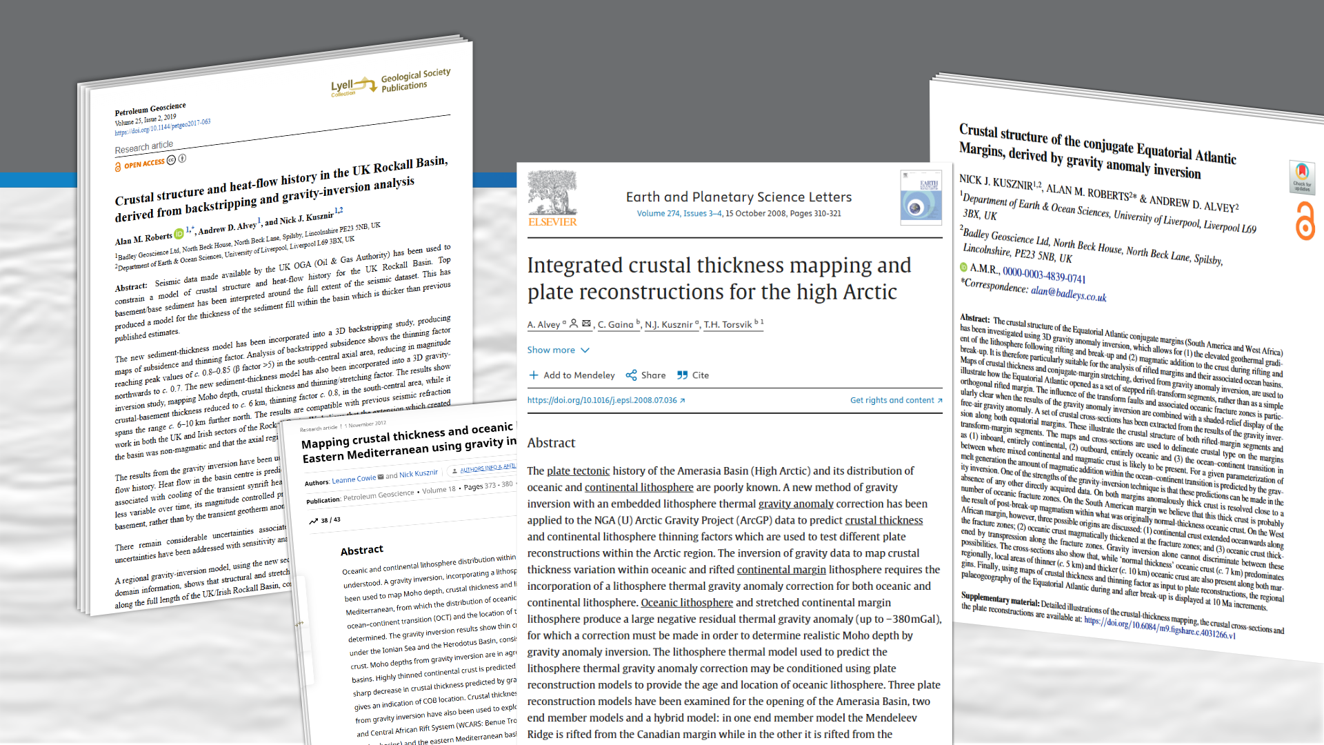
Key Publications:
To find out more about the OCTek Gravity Inversion methodology please use the references listed below: